Infinity Engineering is a dynamic, multi-discipline engineering consulting firm comprising of civil, structural, mechanical, and electrical capabilities, as well as advanced measurements services. This multi-discipline approach allows Infinity’s engineers to produce designs in open collaboration from project inception through completion.

Aerial Drone Services

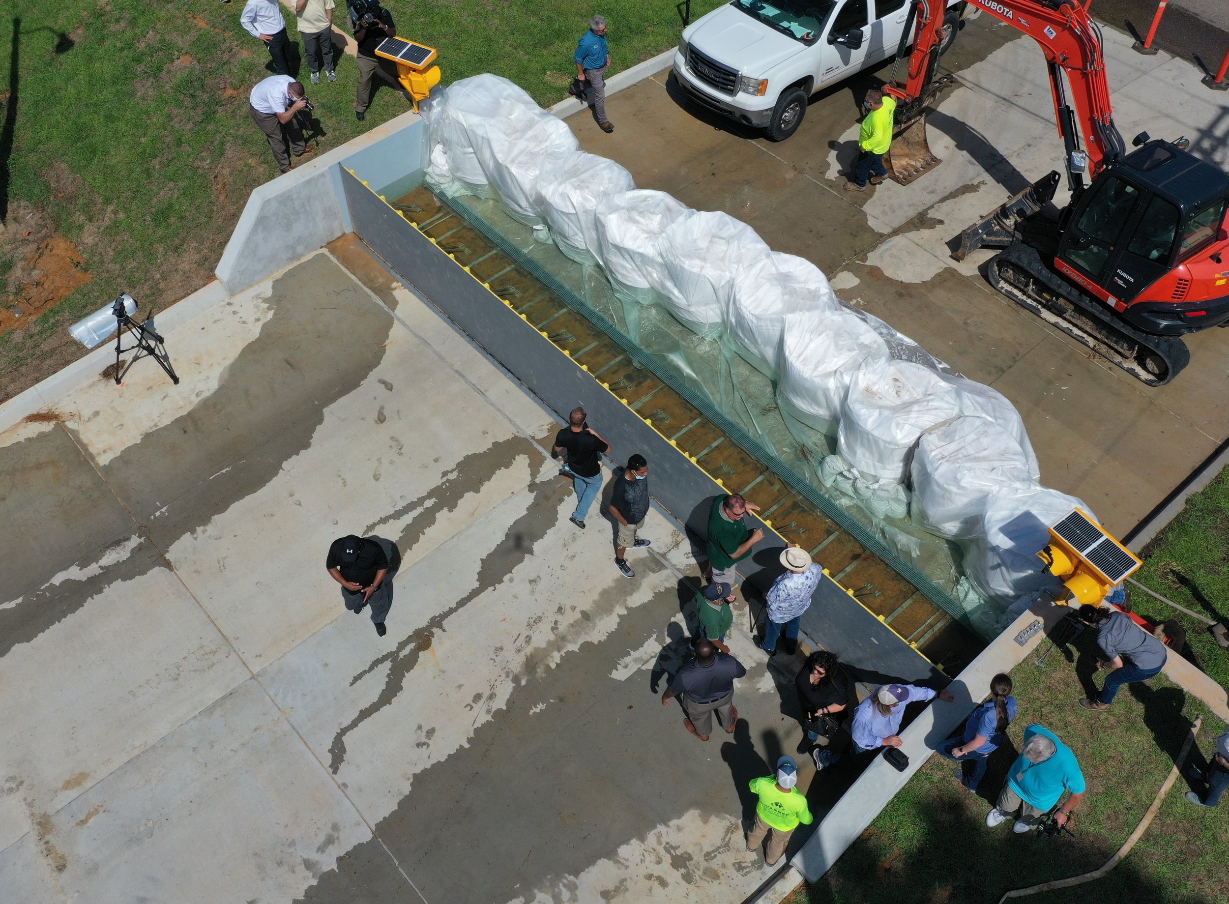
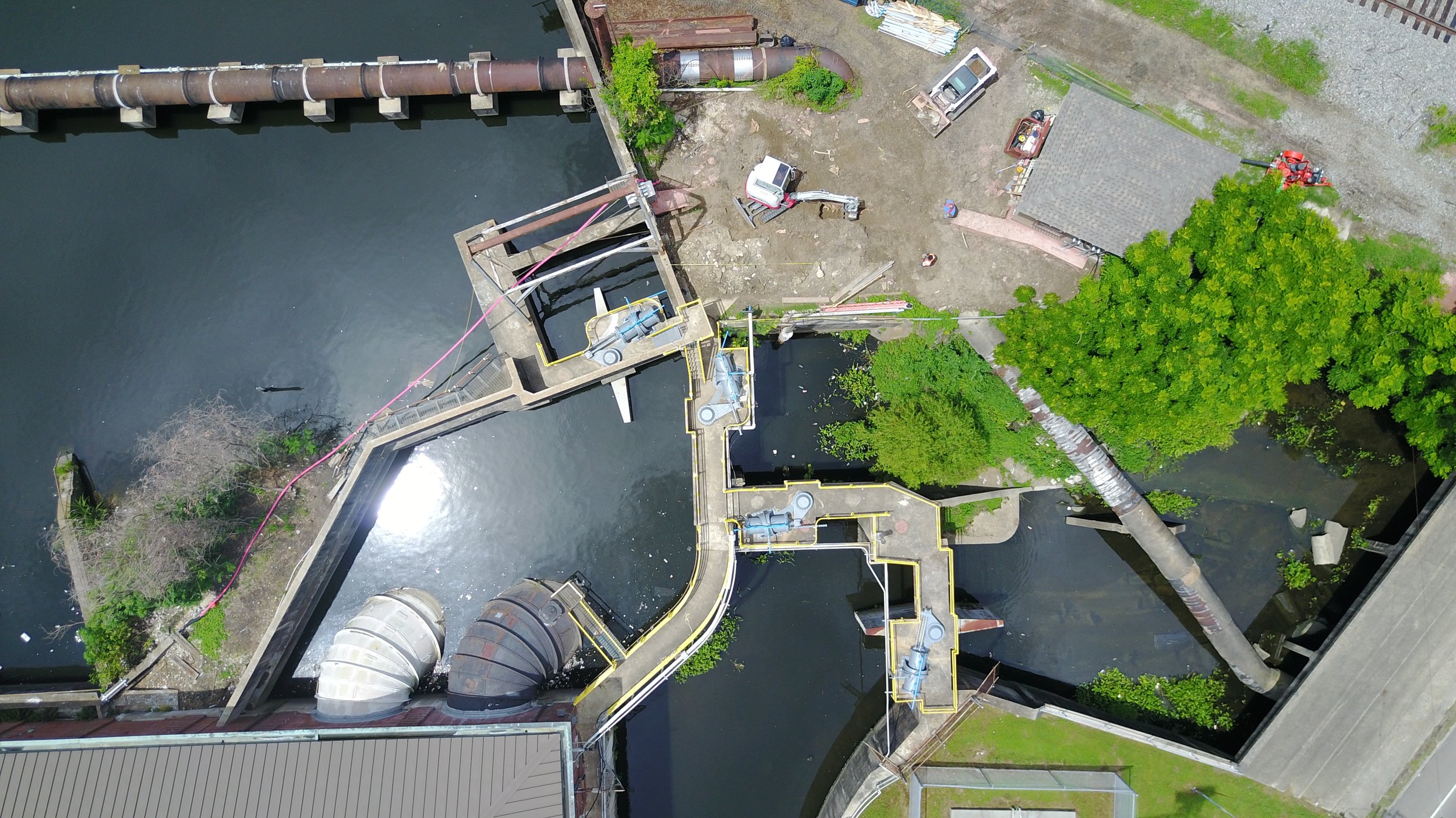
Joe Brown Bridge Replacement - New Orleans, LA
Aerial Drone Benefits
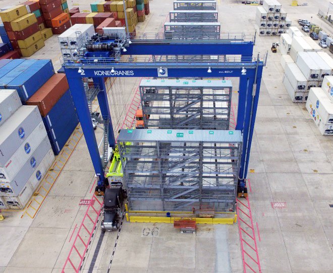
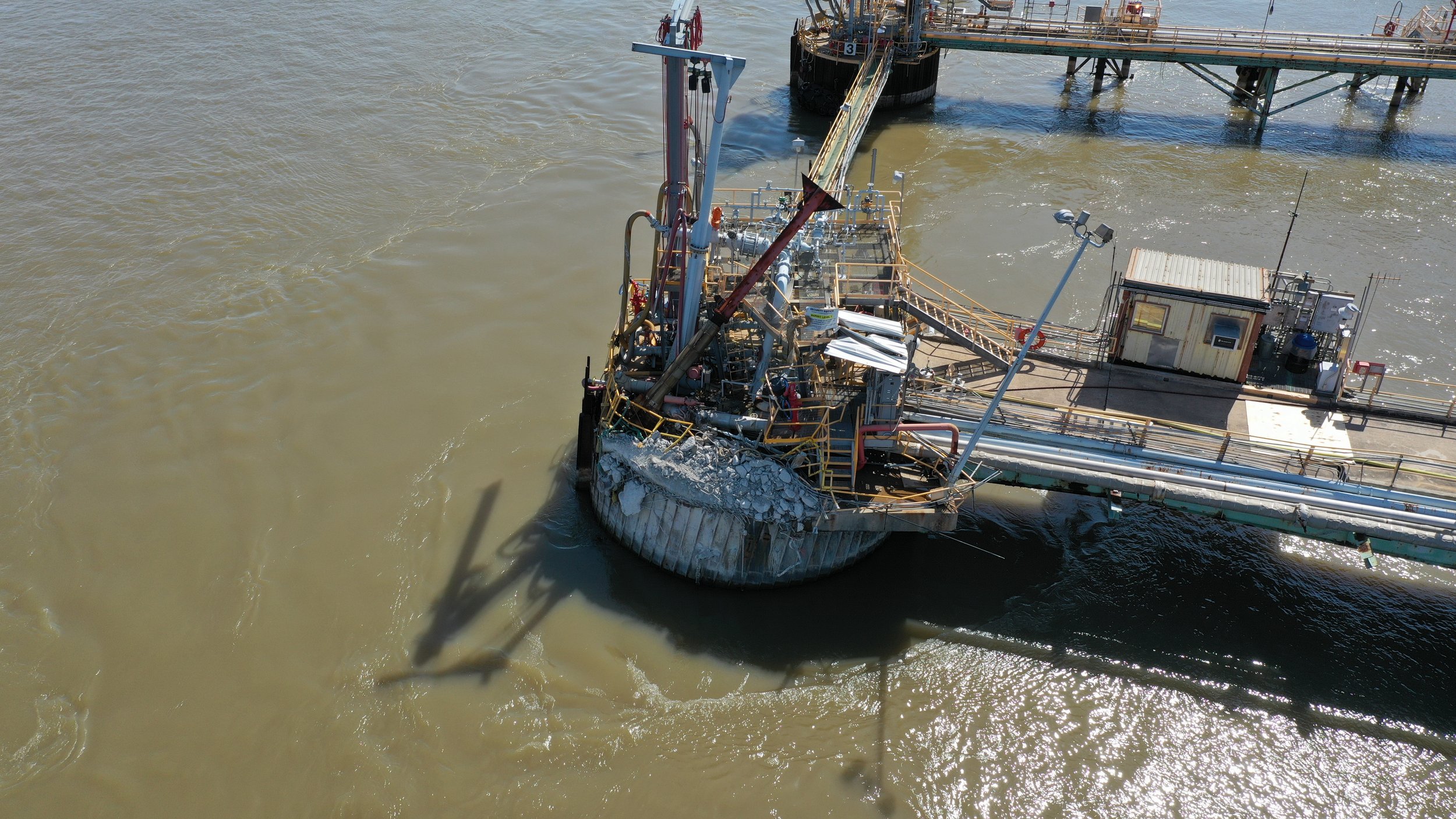
Often, our clients require a visual inspection of a site that is either difficult or unsafe to access. Infinity offers aerial drone services that allow our team to view and document projects from many angles without great expense. Whether it is a visual inspection of a power distribution system or a marine structure allision, Infinity can collect the necessary imagery without using heavy equipment and putting individuals in danger.
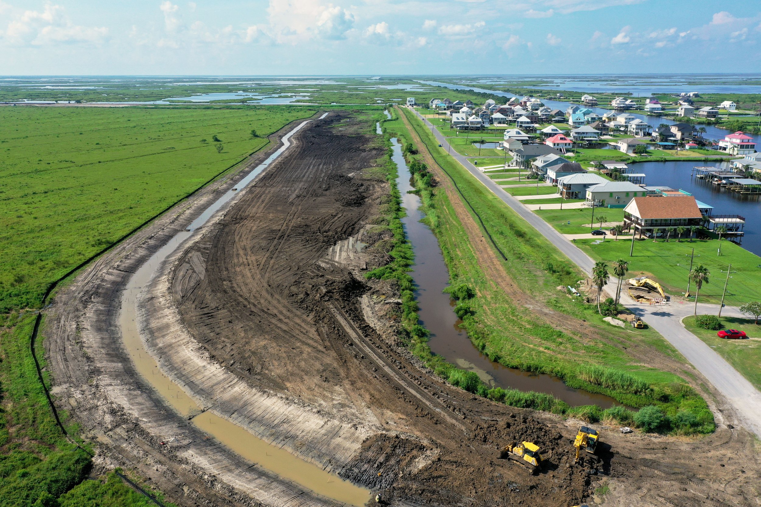
Aerial drones can also be used for photogrammetry surveys when the general topography of large areas is needed. By using a structured grid of photographs taken along pre-defined flight paths, “stereo” imagery is captured. This imagery can then be used by specified software to extrapolate vertical elevation and horizontal dimensions. When combined with control points established by RTK survey equipment, the imagery can be georeferenced and be used in AutoCAD, Plant 3D, or Civil 3D for accurate real-world coordinates and GPS positioning.
Per FAA requirements, Infinity has three licensed drone operators. Additionally, the use of Infinity drones is fully insured for the specific operation of remotely controlled unmanned aircraft.

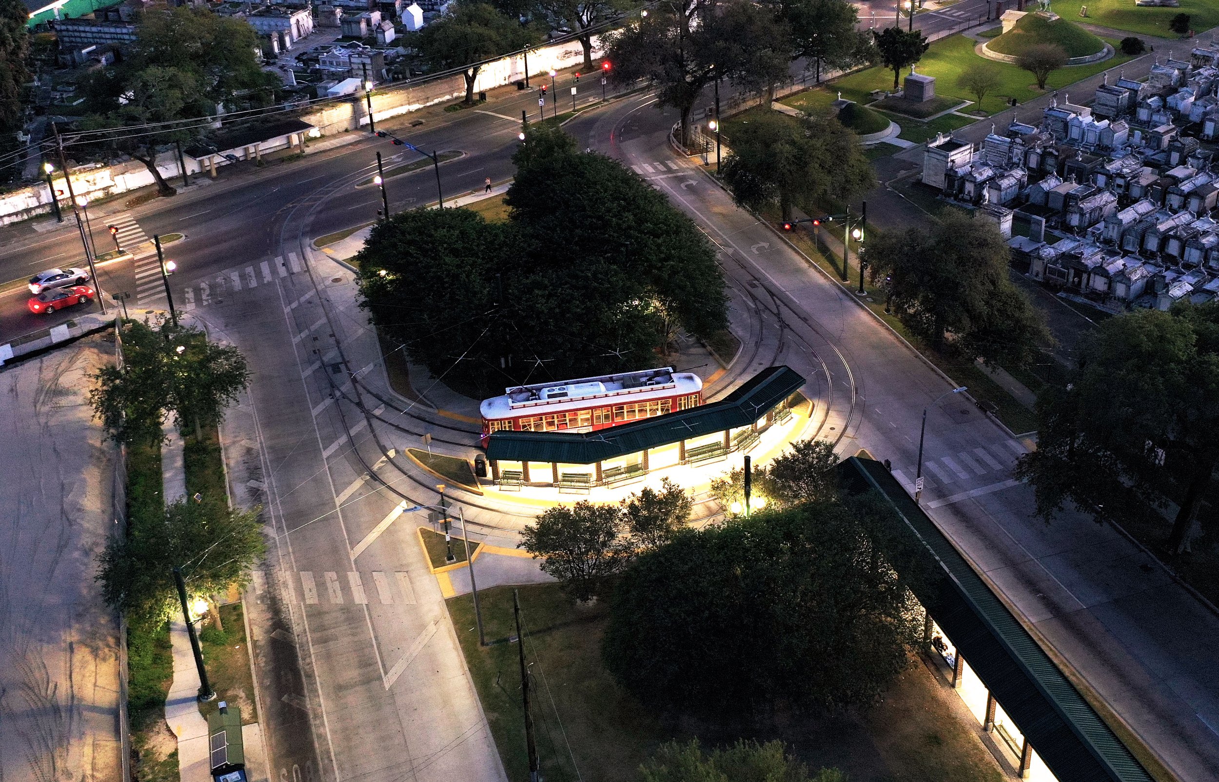
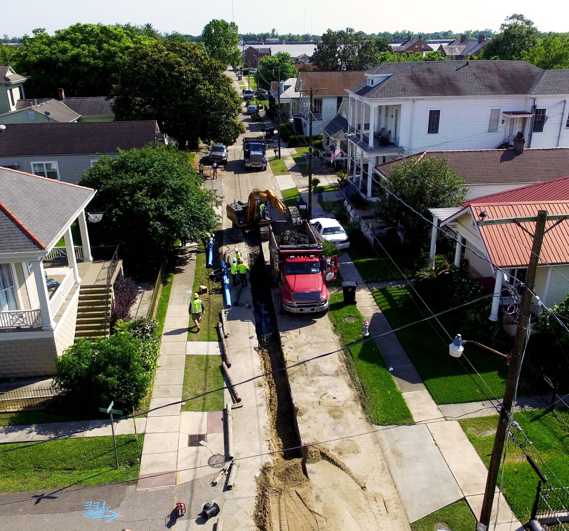
Canal Street/City Park Avenue Streetcar Track Installation - New Orleans, LA